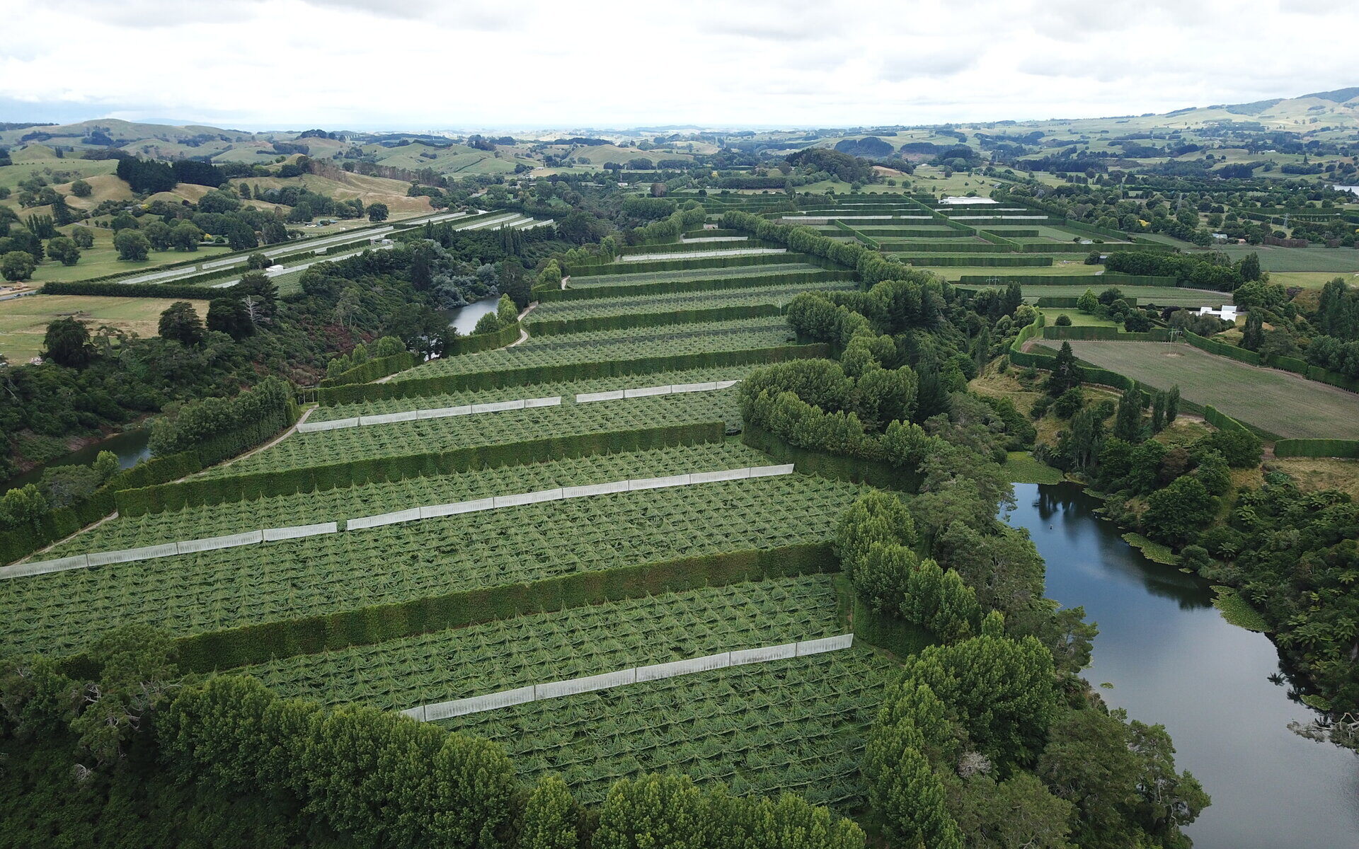
Birds-eye View
With an invaluable helicopter view of their properties, users can visually layer data so it's easy to understand.
Manage property information, blocks and features across multiple locations.
Identify and log hazards on your maps to stay up-to-date with risks on your property.
One single platform ensures your team always has the most recent property information at their fingertips. The visual format makes it easy to navigate multiple properties and prevents mistakes.


With an invaluable helicopter view of their properties, users can visually layer data so it's easy to understand.

Whether it's 10 properties or 10,000, Landkind is designed to handle large amounts of property data.

Capture new data from anywhere and sync your features once re-connected to the internet.
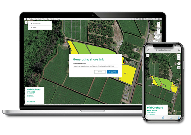
Share your orchard information effortlessly by sending a smart link to your map in just a few clicks.
Links automatically refresh any changes made to an orchard map. Forget about having to update contractors, visitors and compliance records - Landkind does it for you.
Anyone with a link will see the most up-to-date version of an orchard map in their browser.
Watch More
Create multiple versions of a map by selecting layers of information like hazards, production areas, or crop data. This way, you're sharing only the most relevant information with staff, contractors and visitors.

Property maps and data are safeguarded when sent to people within or outside of your organisation. Users can add password protection or set an expiry date to ensure the map data remains in the right hands.
.png?width=100&height=100&name=Hard%20copy%20_%20print_%C2%A0%20(pdf).png)
No problem. It's easy to convert your maps to a PDF format. From there you can save the file, email or print as many copies as you like.
We'd love to have a chat about how Landkind can help you do more, with less.