Dynamic Orchard Maps
How-to Videos
Click onto any of the links below to watch an instructional video.
Request a Demo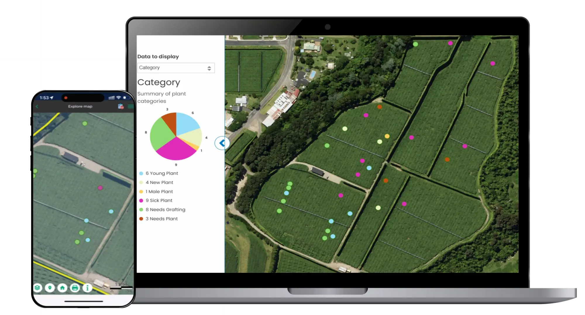
We'd love to show you how the platform works.
Fill in the form below, and one of our team will be in touch.
Table of Contents
Maturity Mapping Tool
Learn how to calculate average maturity over defined areas using the Maturity Mapping Tool.
“Landkind ensures that farmers, managers, and organisations can access the most up-to-date information to assist with their everyday decisions.”
“Know what’s happening on your farm — anytime, anywhere. Landkind's dynamic map lets you record jobs, track paddocks, and guide staff using GPS — all from your phone. Whether it’s broken posts, spray zones, or grazing plans, keep everything in one
place and up to date.”